Maps vs Globes - The True Size of Countries
Maps and globes are two of the most common ways of representing the Earth and its features. Both have their own advantages and disadvantages when it comes to showing the true size of countries, and both have their own unique characteristics that make them better suited for certain purposes.
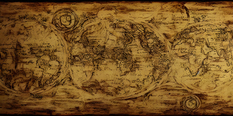
Maps are flat representations of the Earth's surface and are typically rectangular or circular in shape. The most common type of map is the Mercator map, which was developed in the 16th century and is still widely used today. One of the main advantages of maps is that they are easy to read and use. They are also great for navigation and can show detailed information about roads, cities, and other features.
However, the Mercator map has a major flaw when it comes to showing the true size of countries. Because it is a flat representation of the Earth's surface, countries near the poles appear much larger than they actually are, while countries near the equator appear much smaller. This is because the Mercator map distorts the size of objects as they get closer to the poles, making the equator appear much smaller than it is in reality.
For example, on a Mercator map, Greenland appears to be the same size as Africa, when in reality Africa is about 14 times larger. This can lead to misconceptions about the relative size of countries and can have serious implications for education, politics, and other fields.
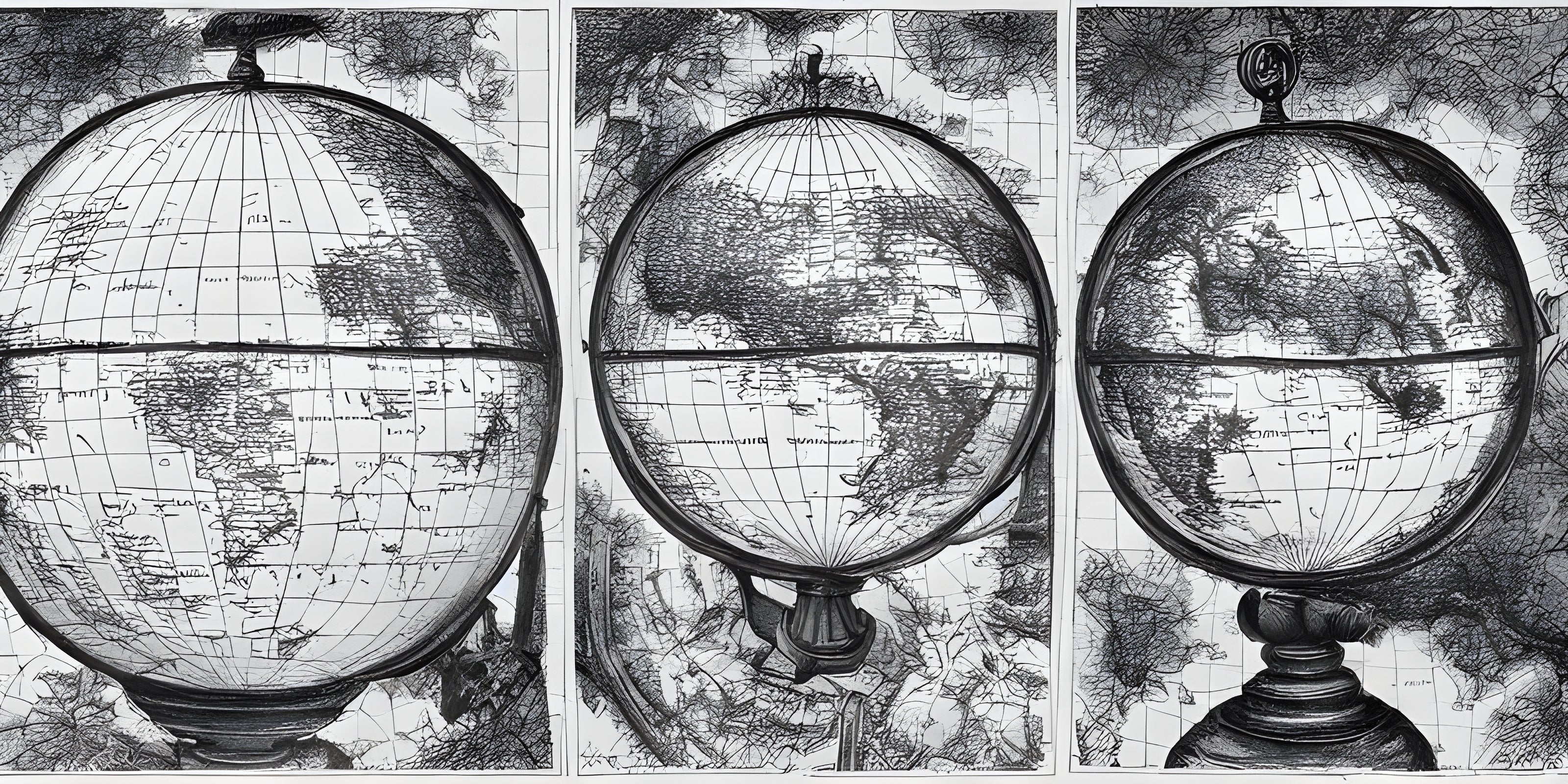
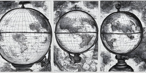
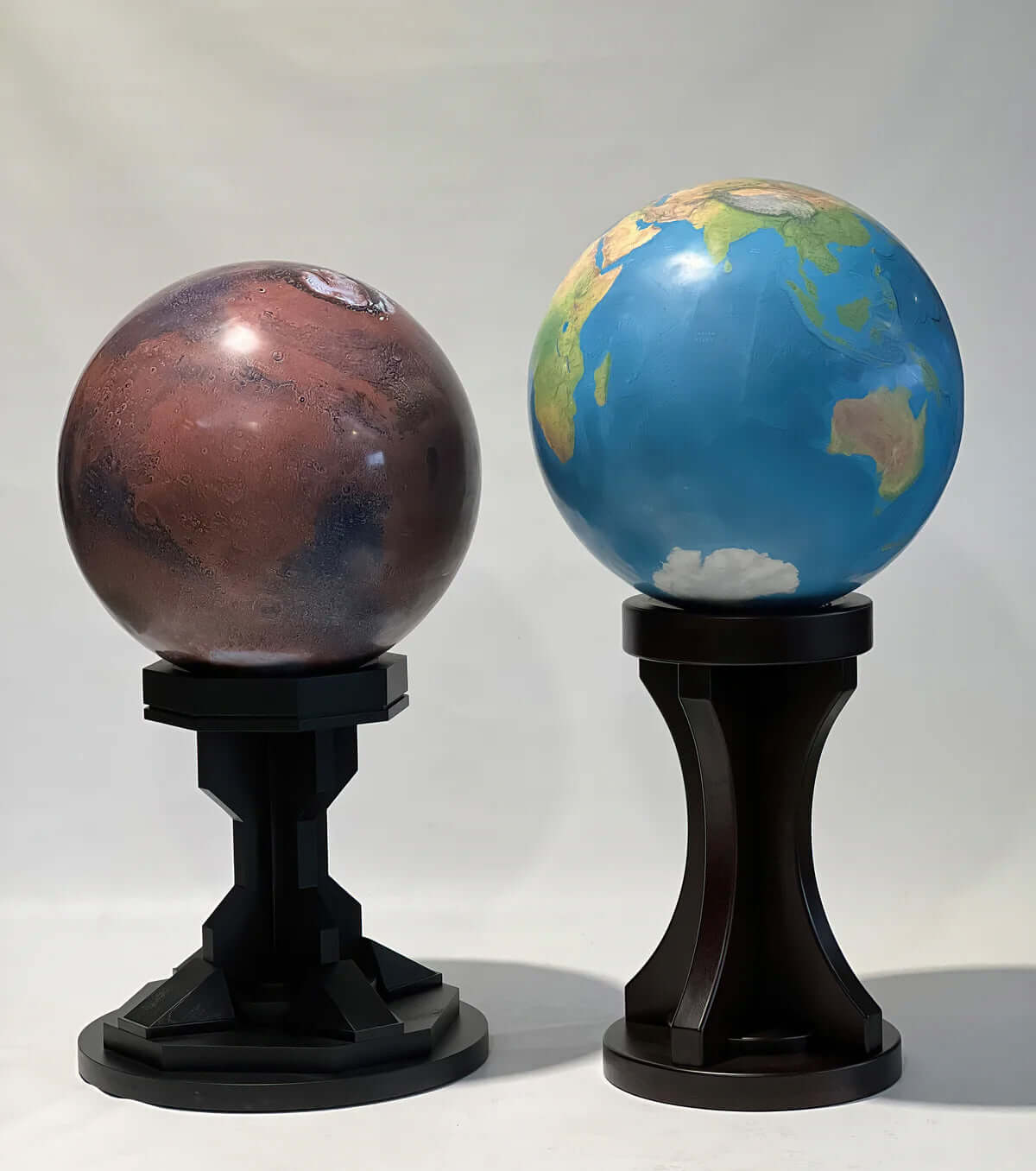
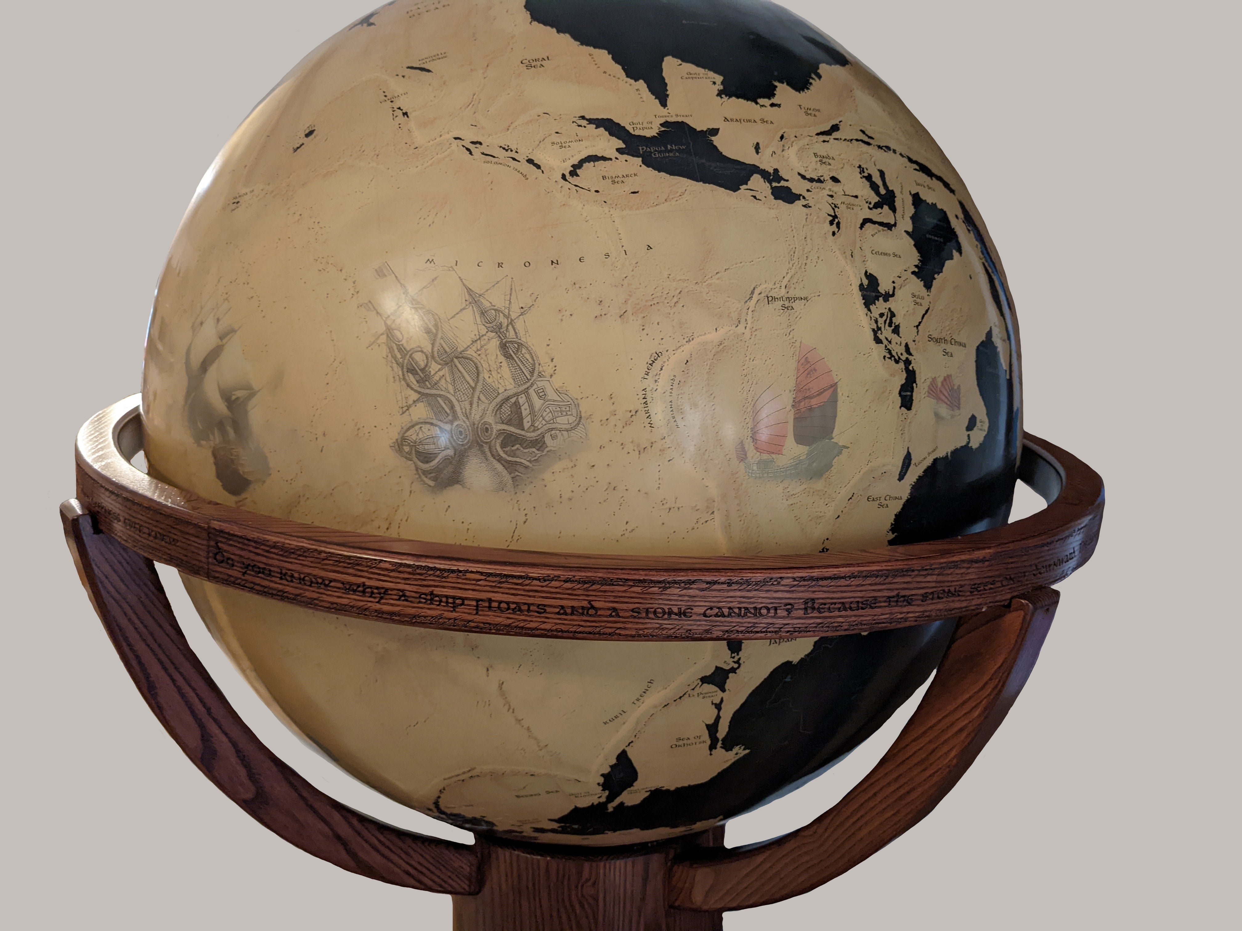
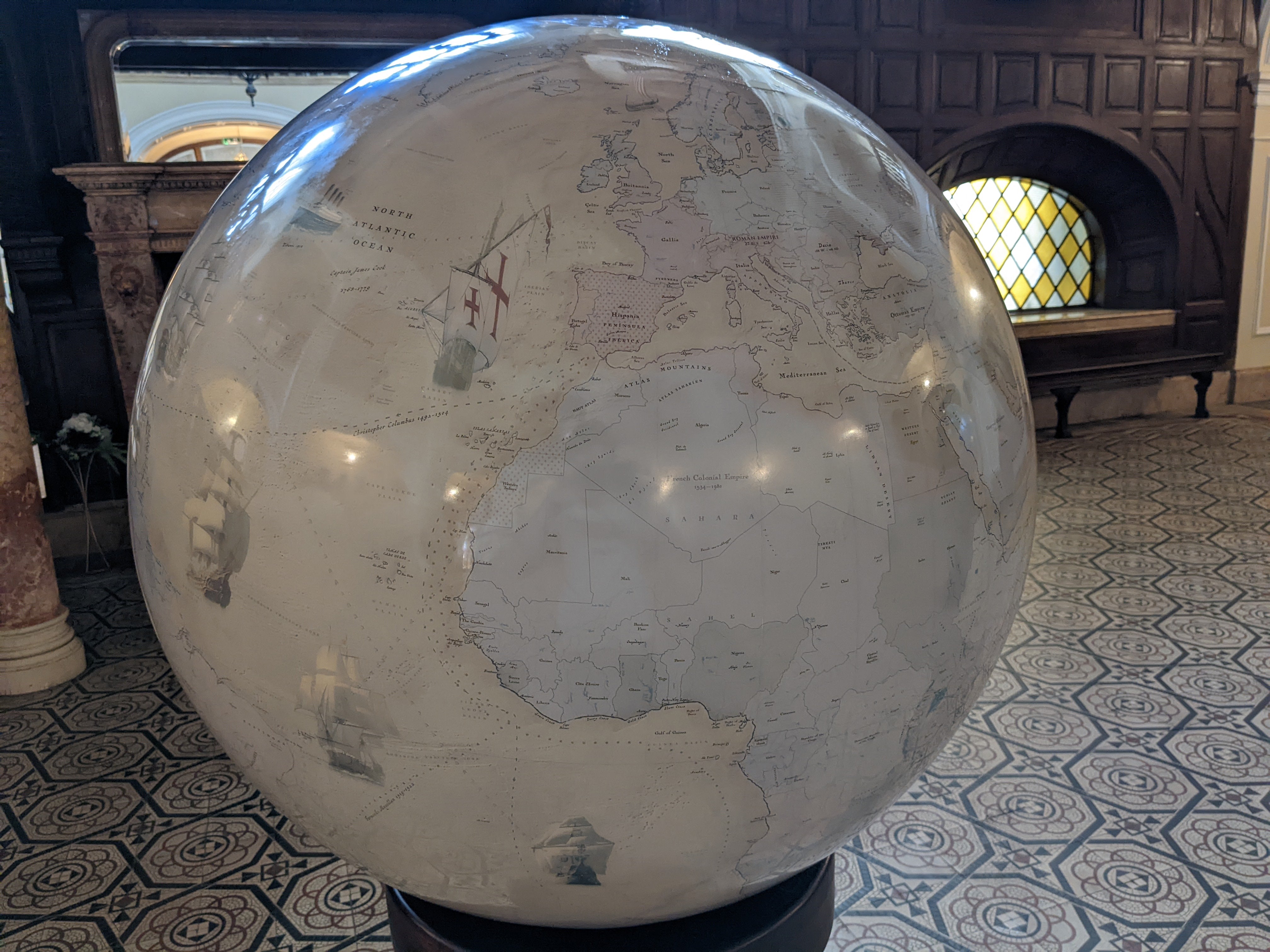
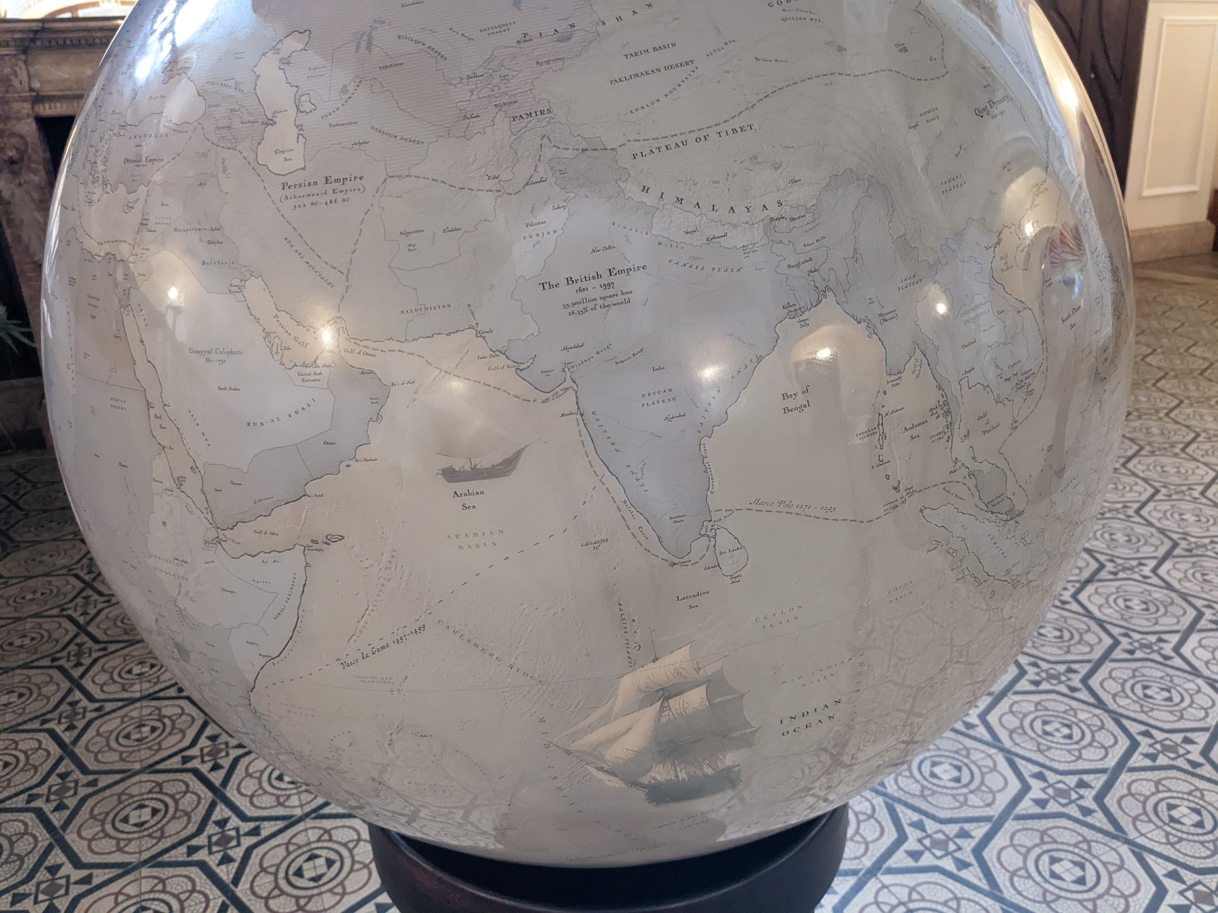
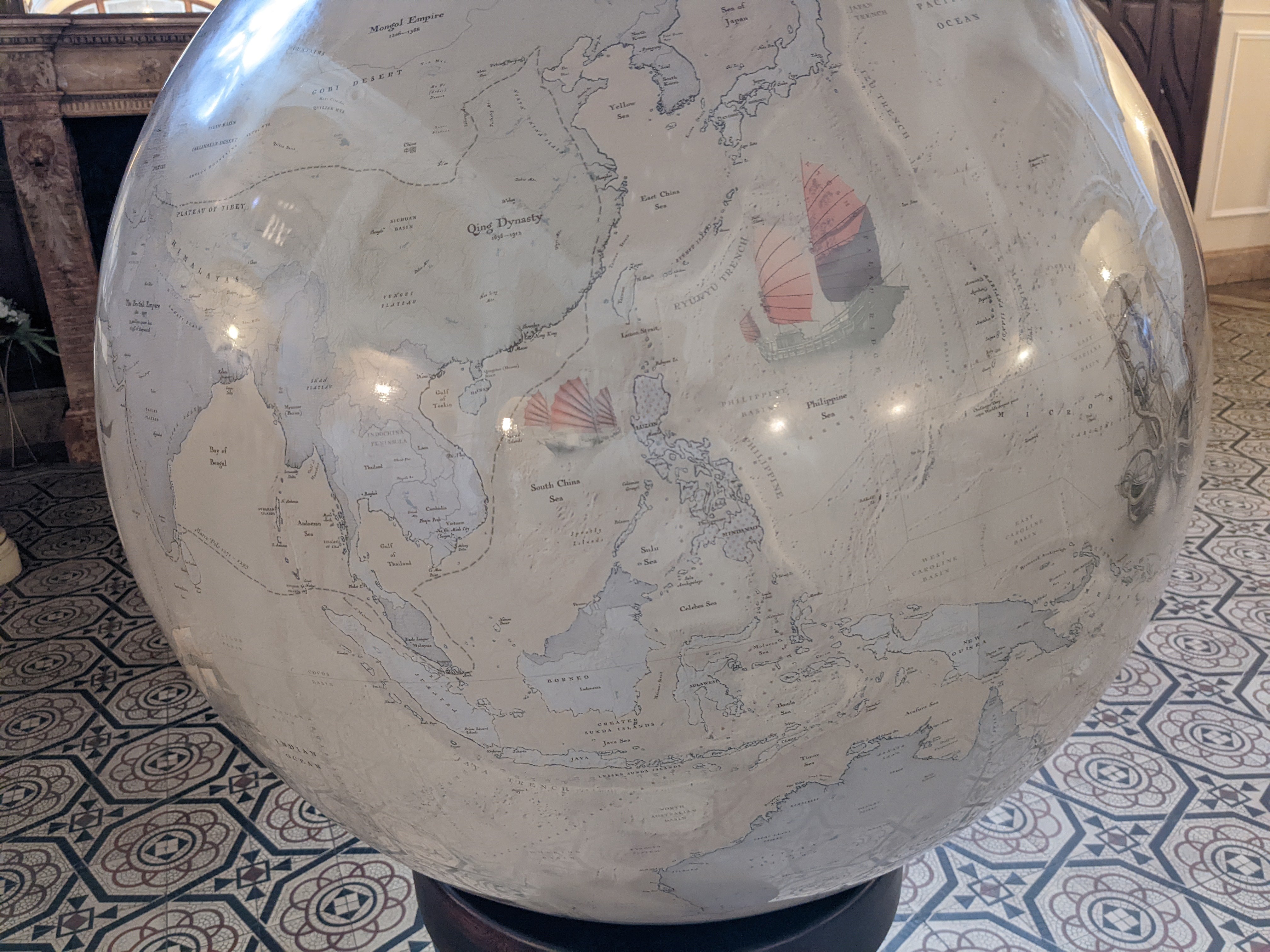
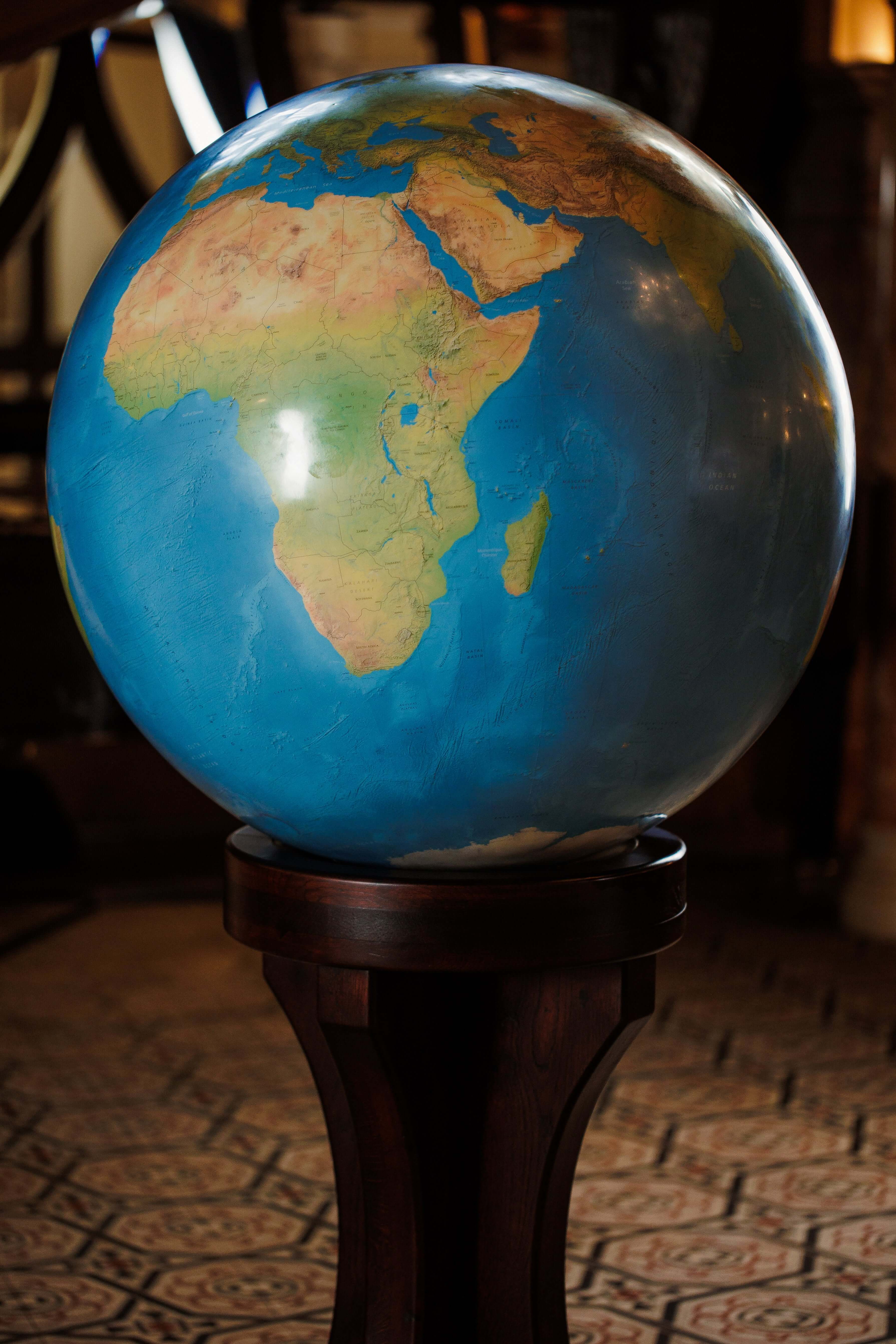
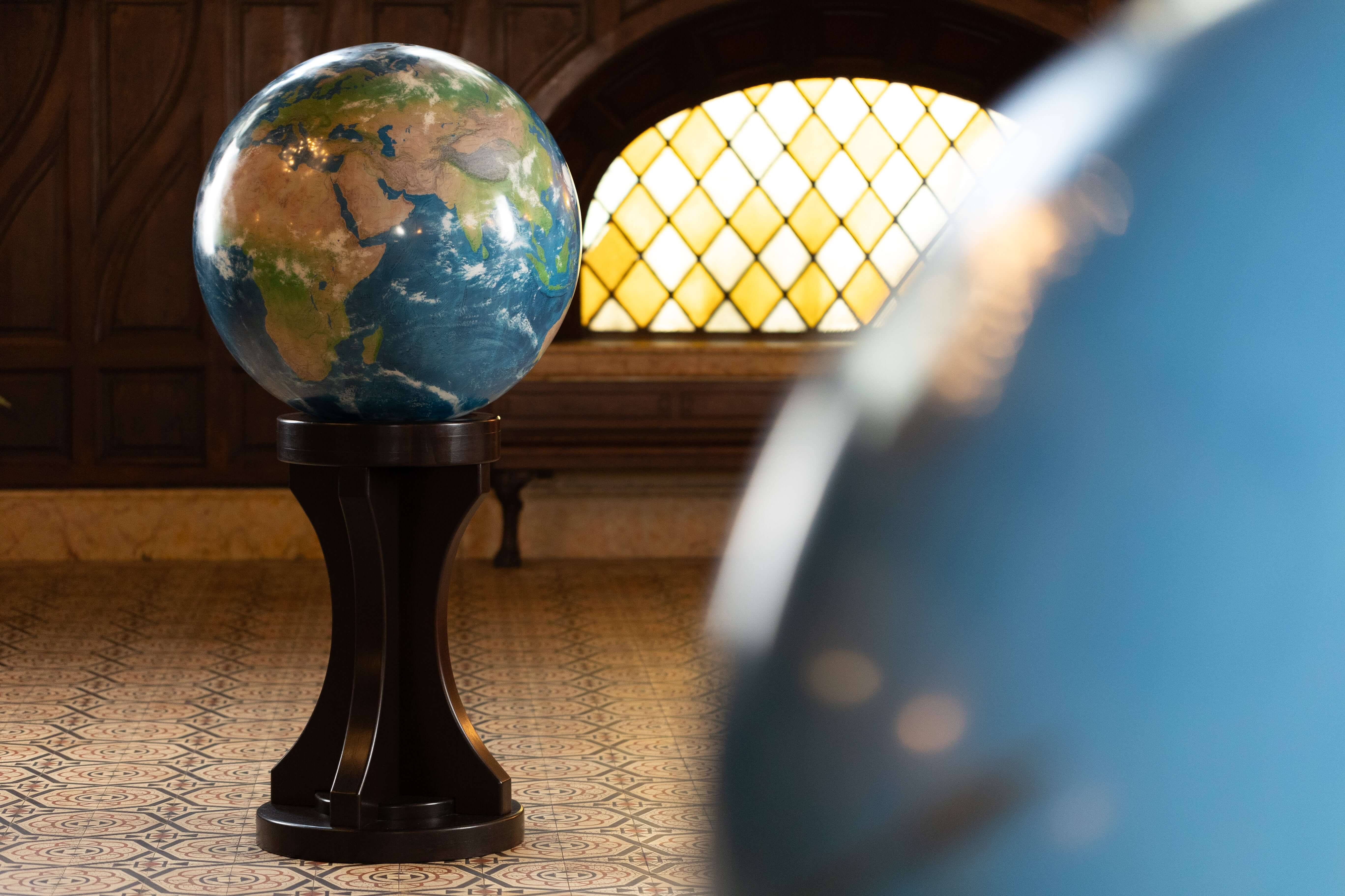
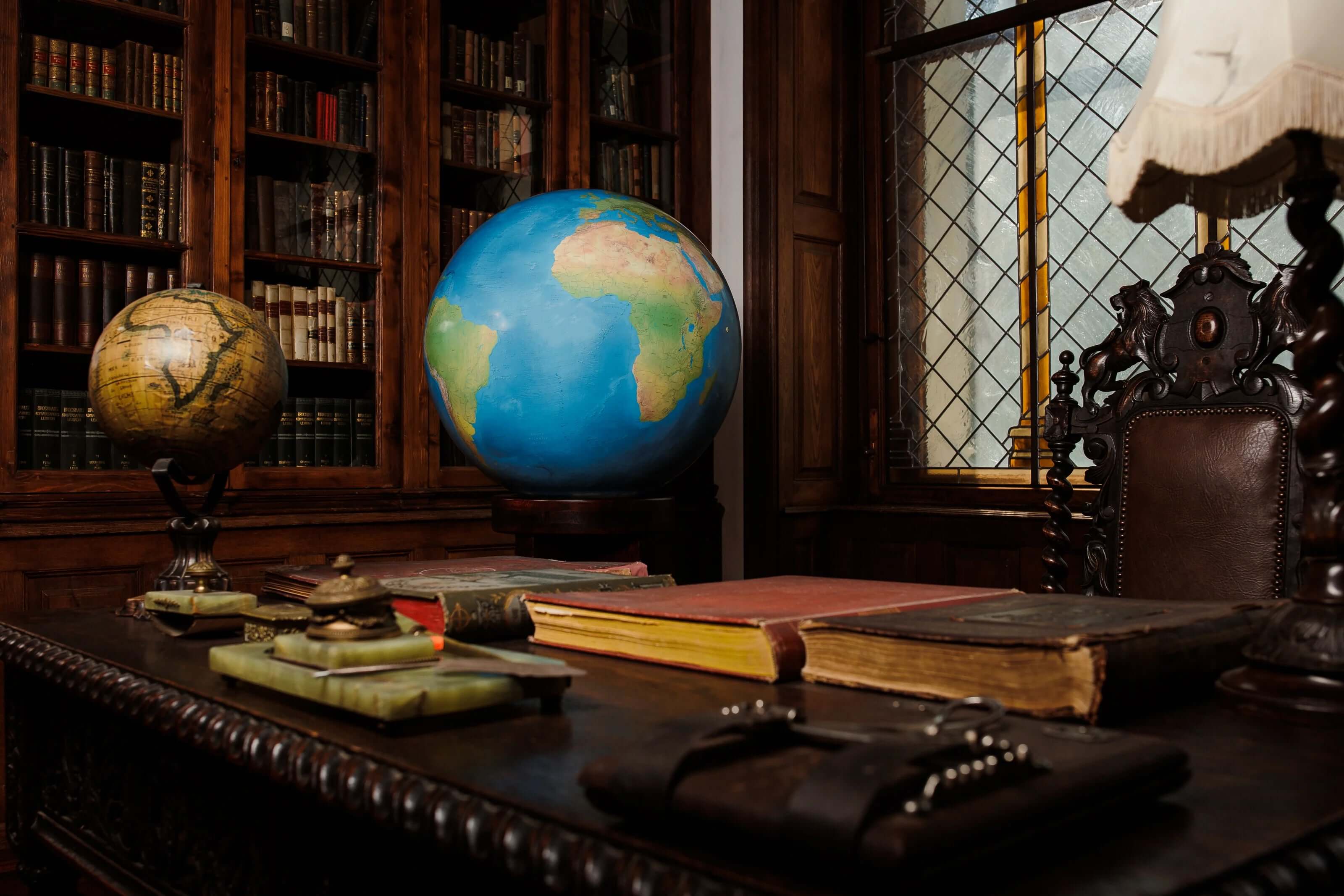
Globes, on the other hand, are three-dimensional representations of the Earth. They show the Earth as it actually is, with the size of countries being accurately depicted. One of the main advantages of globes is that they show the true size of countries, making it easier to understand the relative size of different countries. This can be especially useful for educational purposes, as students can see the relative size of countries and get a better understanding of the world.
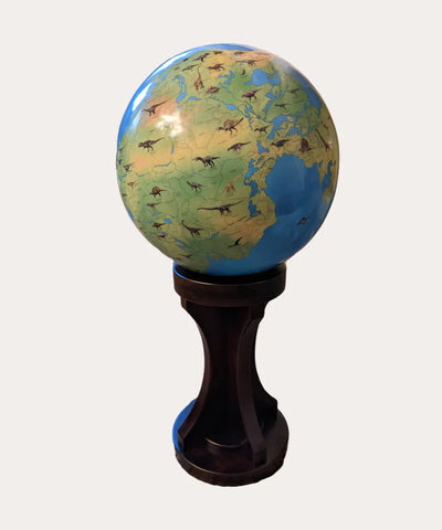
Another advantage of globes is that they can show the Earth's geography in much greater detail than maps. For example, globes can show mountain ranges, rivers, and other features that are difficult to see on flat maps. This makes globes ideal for studying geography and understanding the Earth's features.
However, there are also some disadvantages to using globes. One of the main disadvantages is that they are more difficult to read and use than maps. Globes are also more difficult to store and transport, as they are much larger and bulkier than maps. Additionally, globes are more expensive than maps, making them less accessible to many people.
When it comes to choosing between maps and globes for the purpose of showing the true size of countries, there are several factors to consider. One of the main factors is the purpose for which you are using the map or globe. If you are using it for navigation, a map may be more appropriate, as it is easier to read and use. If you are using it for educational purposes, a globe may be a better choice, as it shows the true size of countries and can show the Earth's geography in much greater detail.
Another factor to consider is the level of detail you require. If you need to show detailed information about roads, cities, and other features, a map may be a better choice. If you need to show the Earth's geography in greater detail, a globe may be a better choice.
Finally, the cost of the map or globe is also an important factor to consider. Maps are typically less expensive than globes, making them more accessible to many people. However, if you are willing to spend more money, a globe can provide a much more accurate representation of the true size of countries.
In conclusion, both maps and globes have their own advantages and disadvantages when it comes to showing the true size of countries. While maps are easy to read and use and are great for navigation, they can distort the size of countries near the poles, leading to misconceptions about the relative size of countries. Globes, on the other hand, show the true size of countries and can show the Earth's geography in much greater detail, but they are more difficult to read and use, and are more expensive than maps. Ultimately, the choice between a map and a globe will depend on the purpose for which they are being used and the level of detail required. However, regardless of the choice, it is important to have a clear understanding of the true size of countries in order to gain a better understanding of the world and the relationships between countries.


